Friends of Vulkathunha – Gammon Ranges NP have published a beautifully illustrated folded brochure for identifying over 50 of the birds of Arkaroola and the Northern Flinders Ranges. A must-have in any glove box north of Hawker.
Pick up your free copy from the Leigh Creek Library, Arkaroola, Balcanoona Ranger’s Office, Iga Warta, Nepabunna, Copley Quandong Cafe and the Copley Community Garden. Alternatively, you can download a PDF version of the brochure.
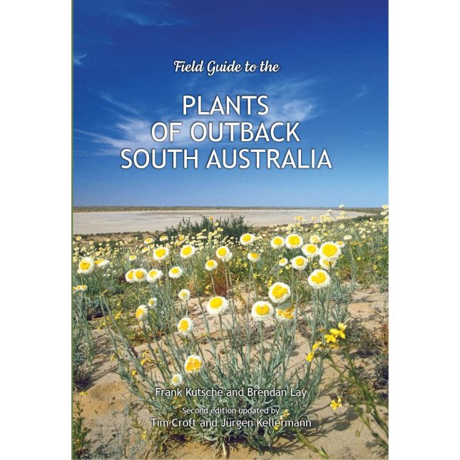
After nearly 15 years out of print, the second, fully revised edition of Plants of Outback South Australia has been published. A collaboration between the State Herbarium of South Australia (Botanic Gardens and State Herbarium) and the Pastoral Unit (Department for Environment and Water), this is a key field guide to South Australia’s arid lands.
Arkaroola Education and Research Foundation with the Geological Survey of South Australia have published an excellent series of Geological Field Excursion Guides. Volume 1 is a self-guided driving tour from Arkaroola Village to Paralana Hot Springs, and Volume 2 is from Arkaroola Village to Sillers Lookout. The guides contain localised geological maps, satellite images and site photographs, with clear instructions on how to find specific formations en route. The accompanying geological notes are highly informative and a wonderful way to discover the stunning geological diversity of Arkaroola.
Australian Geology Travel Maps by Trilobite Solutions is a simple and effective mobile app that operates offline. In addition to terrain and satellite maps, it offers a selection of interactive maps of Australia and NZ for a flat rate of $11.99 per year. These include detailed and simple geological maps by state. This is a wonderful way to locate your position on the geological map and to instantly display geological information about your immediate location. The app also has a voice function that informs you about the geology whenever there is a change, which is great for road trips.
Mineral, exploration and mining data layers can also be downloaded, and various layers can be overlaid. Locations and trails can be recorded and exported in various GPS formats.
As the internet in the Flinders can be patchy and weak, it is advised that all maps and layers be downloaded in advance. The simple geological map for SA was around 1gb and the detailed geological map for SA was around 1.4gb.
This app could very well be an improvement on using a magnifying glass to read a geological map flapping in the wind on a hot car bonnet.
Share information about your fossil and artefact findings through the anonymous survey on the Macquarie University Found A Fossil site.
Sally Hurst, creator of the Found A Fossil research project writes, “In Australia, the laws protecting Aboriginal and Torres Strait Islander cultural artefacts and sites, and fossils, varies between states and can be incredibly difficult to find, read, and understand. The laws are confusing, and often it is unclear what actions you are supposed to take if you do ever find something. Your responses and this data may be part of a movement to better improve understanding and accessibility of heritage laws, and increase our understanding of the best ways to communicate with different audiences. Ultimately, we hope that this research may help to better protect Australia’s incredible heritage material into the future.”
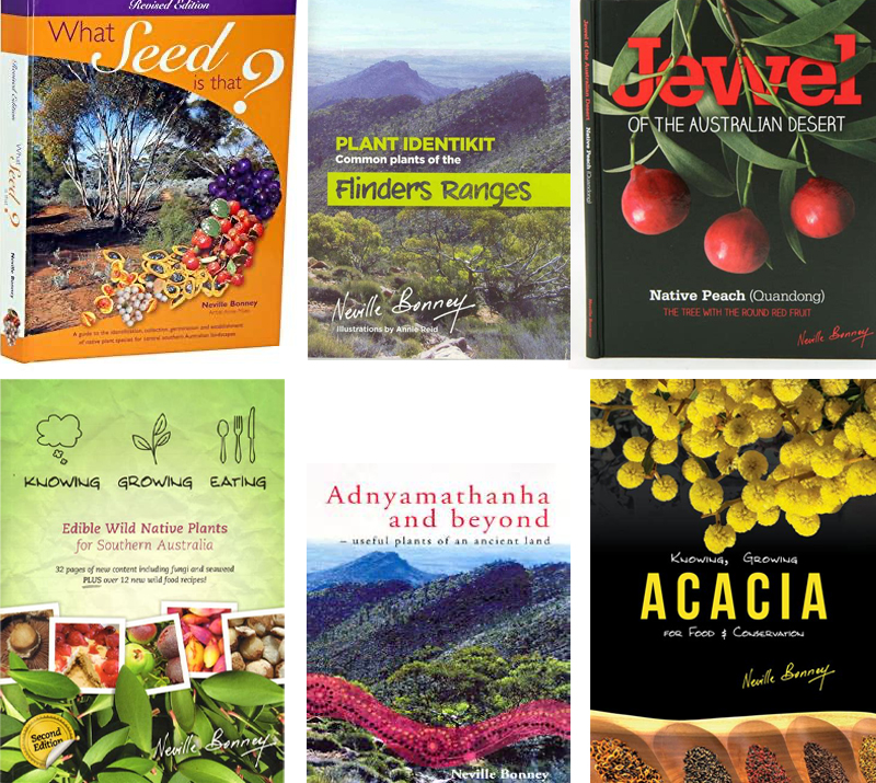
Neville Bonney is an experienced researcher, author and producer of Australian bush foods. His recent road show through the Flinders Ranges was received with great enthusiasm, covering botany and propagation techniques as well as a surprising culinary array. The Leigh Creek Library collection includes Neville’s publications:
What Seed is That?
Plant Identikit – Common plants of the Flinders Ranges
Jewel of the Australian Desert – Native Peach (Quandong)
Knowing Growing Eating Edible Wild Native Plants for Southern Australia
Adnyamathanha and beyond – useful plants of an Ancient Land
Knowing, Growing Acacia for Food and Conservation.
Keep an eye on that orange dot for the backstory of the Flinders Ranges!
Professor Alan Collins from the University of Adelaide’s Earth Sciences Department in School of Physical Sciences is part of an international team who have reconstructed a one billion year history of the Earth’s tectonic plates.
The Acraman Story is a fascinating interactive presentation outlining the discovery of the Acraman ejecta layer by geologist Dr Victor Gostin and his colleagues.
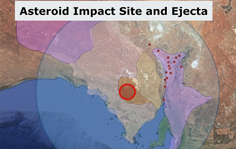
The Acraman layer is a narrow pebbly deposit of volcanic material set within the purple siltstone of the Flinders Ranges Bunyeroo Formation. While the oldest rocks of the Flinders Ranges were 900my, the Acraman samples were dated at 1600my. Early speculation pointed toward a volcanic bomb coming from the near west but this and other suggestions of deposition by glacial rafting, cliff debris or river movement were not viable.
After years of investigation, attention turned to the possibility of asteroid impact. A large asteroid impact scar (30-90km diameter) was found in the 1600my granite rich Gawler Ranges to the west of the Flinders Ranges – a perfect date match for the Acraman volcanic deposit.
The team pieced together an amazing story. The 4.8km wide Acraman asteroid hit the Gawler Ranges at around 22km per second around 680my, the age of the Bunyeroo silts. The asteroid itself was vaporised on impact and the impact into the ancient volcanic terrain displaced granitic rock (ejecta) layer which landed as far as the Flinders Ranges to the east.
The Royal Geographic Society and Walking Trails Support Group have developed this excellent app in addition to the essential publication Explore the Flinders Ranges. The app profiles 16 iconic walks from Quorn to Arkaroola, including maps, geology notes, flora and fauna identification lists, and an accompanying geo glossary. The selected walks are marked in the landscape and are considered to be straightforward for the average walker. As always, when exploring the Flinders Ranges please observe the safety precautions outlined in the app.