
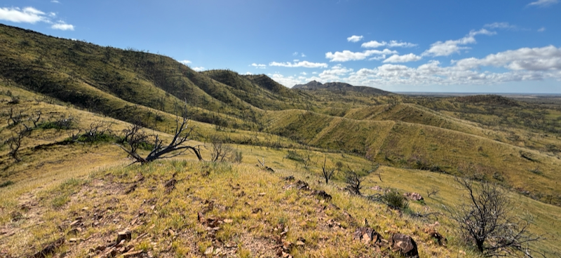
The sand dunes and rocky arid lands of the Flinders Ranges are covered with a rare flush of vivid green, with rejuvenation and mass germination of forbs and grasses following widespread flooding at the end of summer.
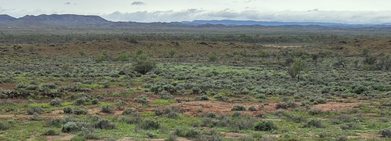
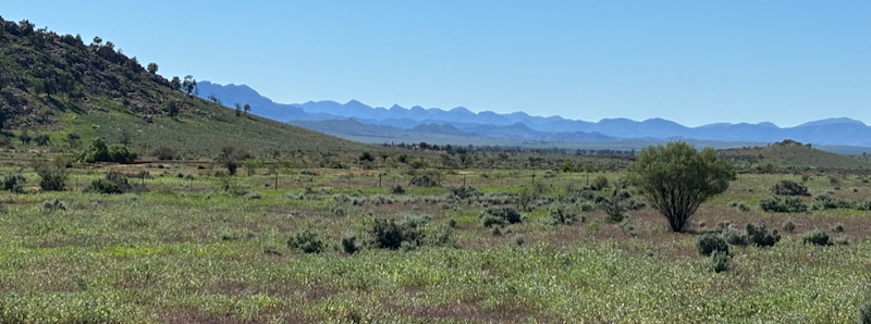
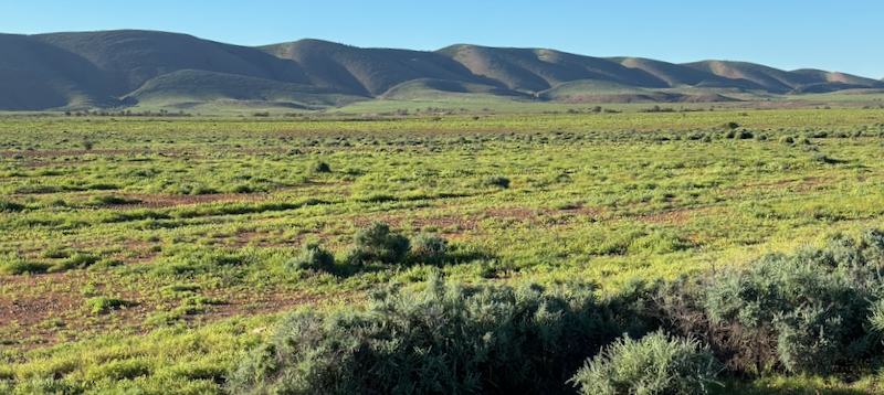
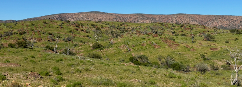

The sand dunes and rocky arid lands of the Flinders Ranges are covered with a rare flush of vivid green, with rejuvenation and mass germination of forbs and grasses following widespread flooding at the end of summer.


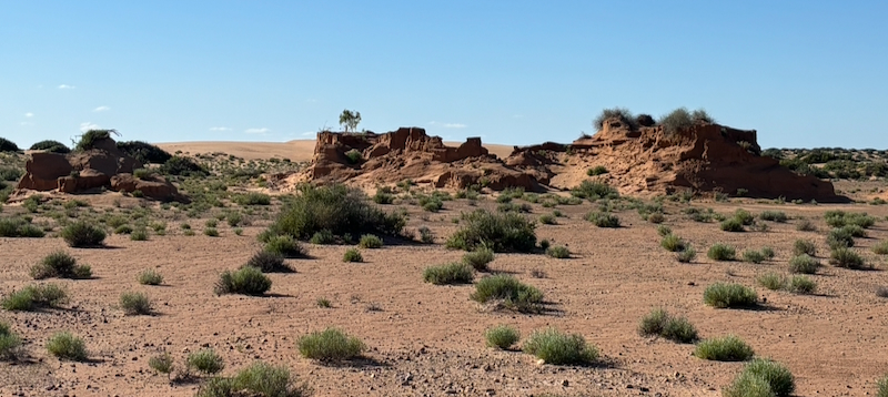
Nepouie Range in Vulkathunha National Park, green with forbs and grasses after rains.
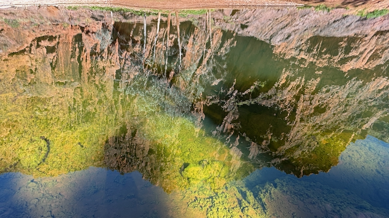
Reflections of Barraranna Gorge in the waterhole, replenished by floods. See the Flinders Ranges Walks app for a guided 7km walk in Barraranna Gorge.
Waters continue to flow at Tillite Gorge, Arkaroola, in early winter after late summer floods.
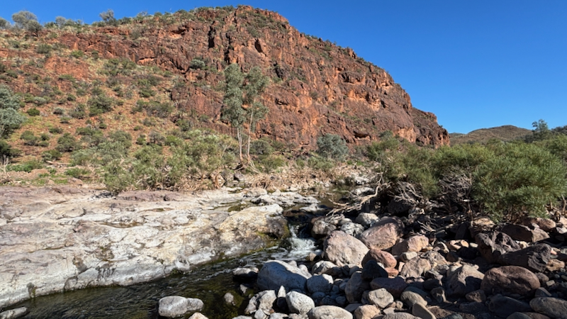
See the Flinders Ranges Walks app for a guided walk through Italawi Gorge.

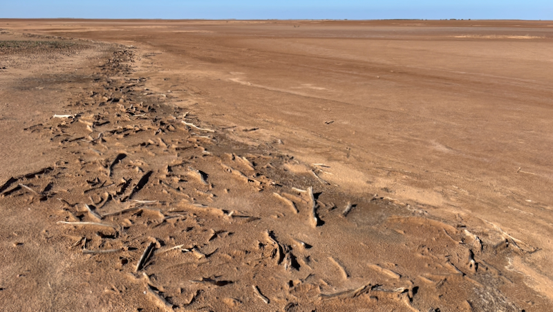
After the wettest October on record, Lake Torrens to the west of the Flinders Ranges is flooded. This event was captured by The Operational Land Imager-2 (OLI-2) on Landsat 9 on October 28, 2022. Read more about the flooding of Lake Torrens on NASA’s Earth Observatory site.


When not enjoying geology and astronomy tours at Arkaroola, one of the many ways to take in the spectacular mountain views is the Acacia Ridge WallkingTrail. It’s a 5.6km moderate walk across a mountain ridge, ending at the Arkaroola Village. The views of the ranges in all directions are breathtaking and there are many flowering plants inhabiting the rocky slopes that are uncommon in other parts of the Flinders Ranges.


While weathering and seasonal rains can cause waterholes at to silt up, Paralana Hot Springs continue to flow as a shallow stream. Sourced from within a fault zone, the water is around 60 degrees and emits gases such as radon which is heavier than air and hovers around the creek area on still days. A wonderful array of Cyanobacteria, Proteobacteria and algae thrive in the Paralana Hot Springs.


