South Australia Geotrails app

The free and fabulous South Australia Geotrails app is published by the Royal Geographical Society of South Australia who brought us the excellent Flinders Ranges Walks app. It draws on the expertise of the Geological Society of Australia (SA), the Geological Survey of SA (Department of Energy and Mining), the Field Geology Club of SA, and volunteers from the RGSSA Walking Trails Support Group.

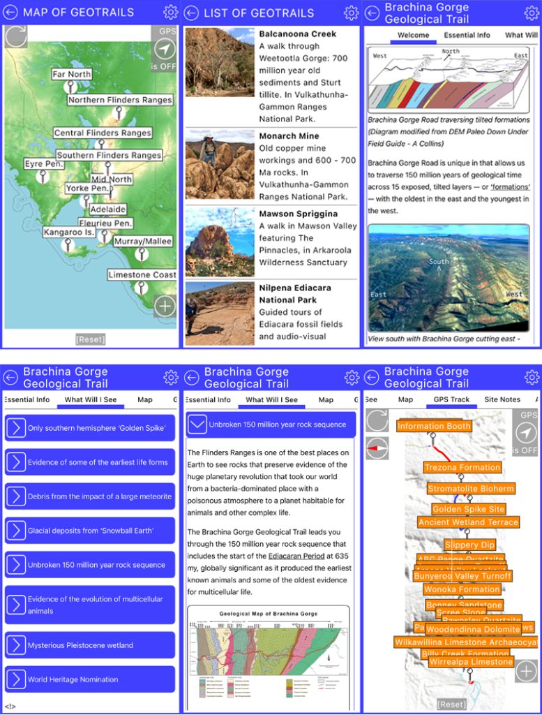
The app covers many geological sites across the state, including 10 Geotrails in the Flinders Ranges area, and will continue to expand over time. Each listing has essential information about the location, geological features of the trail, zoomable maps, GPS track, and self guided walk notes. There is also a geology glossary and a great reference section, including further reading and video links. This is the gem to have in your pocket when exploring South Australia’s geological wonders.
Acacia Ridge Trail: Arkaroola

When not enjoying geology and astronomy tours at Arkaroola, one of the many ways to take in the spectacular mountain views is the Acacia Ridge WallkingTrail. It’s a 5.6km moderate walk across a mountain ridge, ending at the Arkaroola Village. The views of the ranges in all directions are breathtaking and there are many flowering plants inhabiting the rocky slopes that are uncommon in other parts of the Flinders Ranges.

Brachina Gorge Geological Trail

Download PDF:

Brachina Gorge Geological Trail: A snapshot of geological time in the Flinders Ranges National Park in South Australia.

Published by the Geological Society of Australia, South Australian Division.

Excerpt:

One of the best records in the world of sedimentary deposition in the period of geological time between about 800 million and 500 million years ago is exposed in the Flinders Ranges, Mount Lofty Ranges and the Olary region in South Australia. Sandy and silty sediments derived from erosion of older rocks of the Gawler Craton in the hinterland to the west, and island masses of this basement rock rising from an undersea ridge over 200 km to the east, were deposited into an extensive marine basin called the Adelaide Geosyncline in which the seafloor was slowly subsiding along a series of elongated north-south step or graben faults.

During the 300 million years of continuing but intermittent subsidence of the basin floor, a thick pile of sediment accumulated in the geosyncline. This sequence was then compressed and hardened by deep burial and later folded into a high mountain range by a new regime of earth movements.

Subsequent erosion has reduced these highlands to their present form and deposited huge amounts of sediment to the east into younger sedimentary basins formed by later crustal down warping. Continue reading “Brachina Gorge Geological Trail”